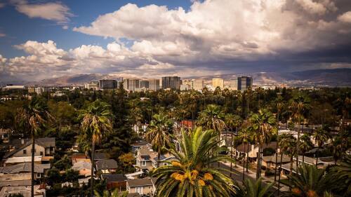
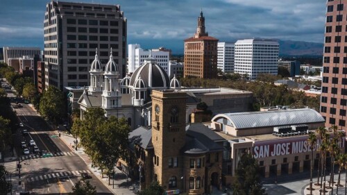
By 2040, Downtown San Jose population will double to 120,000 residents, 160,000 workers, and 50,000 students. That’s uh, a lot of people. So, how will our city prepare for these big changes?
Keeping safety, equity, and sustainability in mind, the city’s Department of Transportation developed a plan to revamp and redesign downtown for a more people-first future. For example, one of the plan’s goals is to create a downtown where half of all trips will be car-free by 2040. 🏙
This new Downtown Transportation Plan (DTP) will go hand-in-hand with several other major projects that are already underway, including the BART extension, Diridon Station’s redesign, and Google’s Downtown West development. 🏗️
🚧 The big picture
The DTP lists four major projects — or “big moves” — that would require extensive funding and planning + would likely take many years to complete.
- Reimagining Santa Clara St. as the “Grand Boulevard” by expanding sidewalks and outdoor spaces + converting it into a plaza-like street closed to most vehicles.
- Investing in car-free connections through Downtown, such as bike “superhighways” or “high lanes” from Diridon to Japantown.
- Speeding up light rail by either moving the Downtown lines underground or consolidating all light rail onto First St.
- Removing freeway barriers by transforming SR-87 into a street-level boulevard (like the Embarcadero in SF) or decking over I-280 to create a public plaza (like Freeway Park in Seattle).
🚦 More changes on the ground
On a smaller level, the DTP will also redesign downtown streets so that all transportation types will be consolidated and improved within four designated street networks. To achieve this, the DTP is considering several changes across these networks, including:
- Limiting or moving parking meters
- Rerouting or expanding VTA service
- Improving bus shelters and crossings
- Creating protected bike lanes or elevated bike paths
- Adding bike lockers next to streets
- Giving bikes priority at intersections
- Creating permanent paseos closed to motor vehicles
- Widening sidewalks and improving crosswalks
- Expanding outdoor vendor and dining options
Driving and Delivery Networks 🚙
- Converting one-way streets to two-ways
- Slowing speeds and allowing for fewer cars
- Consolidating several I-280 ramps at Almaden Blvd.
📝 Next steps
Over much of the past year, San Jose’s Department of Transportation has sought public feedback on the DTP.
In October 2022, the plan’s final draft was revealed. While the 200+ page document is a bit hefty, we’ve already broken down most of the details here.
Between 2023-2027, the plan’s first priorities will include expanding the Paseo programs on San Pedro + Post Street, revamping St. James Park, and improving biking infrastructure on San Fernando and St. John.
You can submit comments on the plan before Fri., Oct. 28. Then, let us know what you think. Which projects or changes are you excited about?


